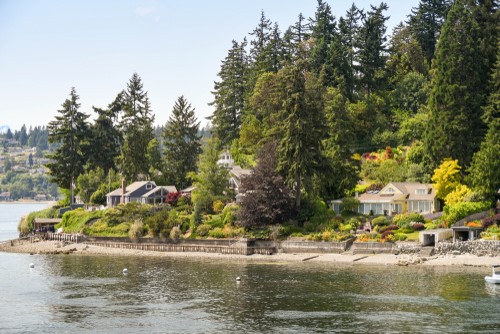
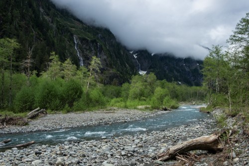
 Climate change has already affected and will continue to affect the infrastructure, natural systems, economy, culture, and livelihoods of people who live and work in Kitsap County. The Pacific Northwest and Kitsap County have experienced measurable and observable climate change trends and impacts.
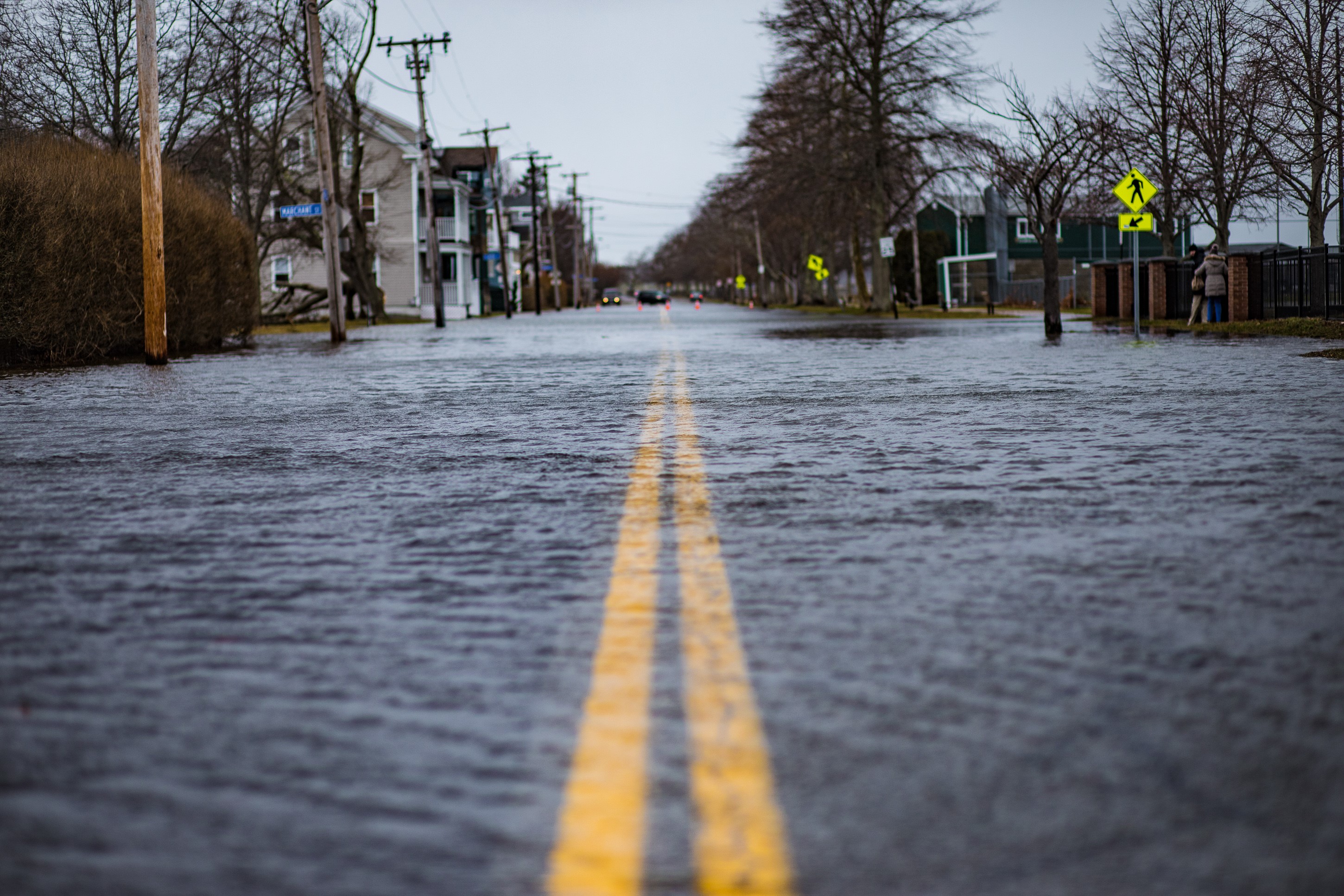
Warmer air, warmer water, sea level rise, ocean acidification, increasing frequency and intensity of extreme weather events, changing precipitation and streamflow patterns, increasing drought, and changing wildfire risk are all expected under future climate scenarios. An annual average temperature increase of 8.5°F may not seem like much, but consider that the average global temperature during the last ice age was just 11°F cooler than today!
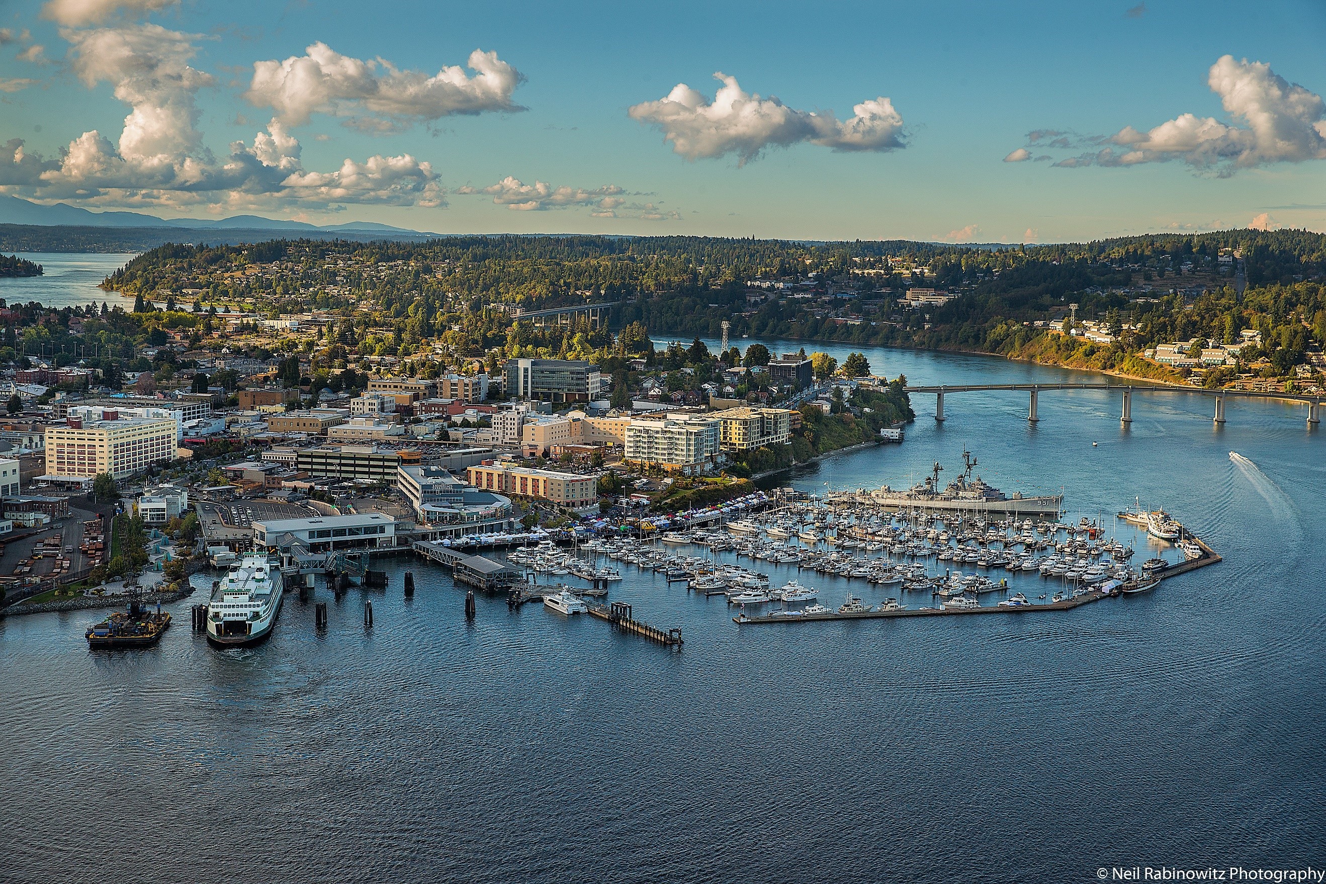
Kitsap County's Department of Community Development completed a Climate Change Resiliency Assessment in June 2020, in partnership with the cities of Bremerton and Port Orchard. The assessment was developed under contract by Cascadia Consulting, Greene Economics, and Herrera Environmental.
It assesses and prioritizes risks to Kitsap County's residents, environment, economy, and infrastructure due to climate change. It provides a basis for future resiliency planning and information for Kitsap County agencies to prioritize specific threats. The analysis narrows the range of possible impacts to a set of probable impacts and provides a high-level assessment and prioritization of specific climate impacts based on probability, timing, and magnitude of impact to public health, safety, economy, infrastructure, water resources, and habitat.
The assessment is based on the most current, existing science as it applies to Kitsap County. It considers the probability of a wide range of impacts as they apply to Kitsap County's unique geography, including: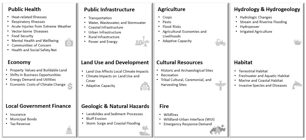
Kitsap County Climate Change Resiliency Assessment - June 2020
Kitsap County Communitywide Geographic Greenhouse Gas Emissions - August 2022
What is a communitywide geographic GHG emissions inventory? A communitywide geographic GHG emissions inventory quantifies the annual emissions produced within community boundaries due to community activities, such as on-road transportation and energy consumption. A geographic emissions inventory does not account for upstream emissions from goods and services consumed within the community, such as food or furniture.
Sea Level Rise Vulnerability and Risk Assessment
The Department of Community Development is conducting a Sea Level Rise Vulnerability and Risk Assessment that will identify potential losses or damages from flooding due to sea level rise. Learn more through the link below.