View the benefits of Beavers brochure
Water Resource Inventory Area 15 (WRIA-15) encompasses the Kitsap Peninsula as well as portions of Mason, Pierce, and King County. WRIA-15 is unique from other western Washington watersheds in that it contains many low-elevation, low-gradient streams and overall relies on groundwater recharge to maintain stream flows in dry months as opposed to snowmelt runoff. Population increases within WRIA-15 have increased the demand for private wells, which draw down the water table. This water scarcity creates conflict between maintaining stream flows for fish and allowing water for residents.
Washington State Legislature's Streamflow Restoration Act RCW 90.94 allowed for the creation of the WRIA-15 Watershed Restoration and Enhancement Committee (Committee) to deal with this issue. Recognizing the benefits beavers can provide to the landscape and stream flows, the Committee is considering the use of beavers to replenish groundwater supplies and offset water withdrawals from permit-exempt wells while maintaining in-stream flows for salmon.
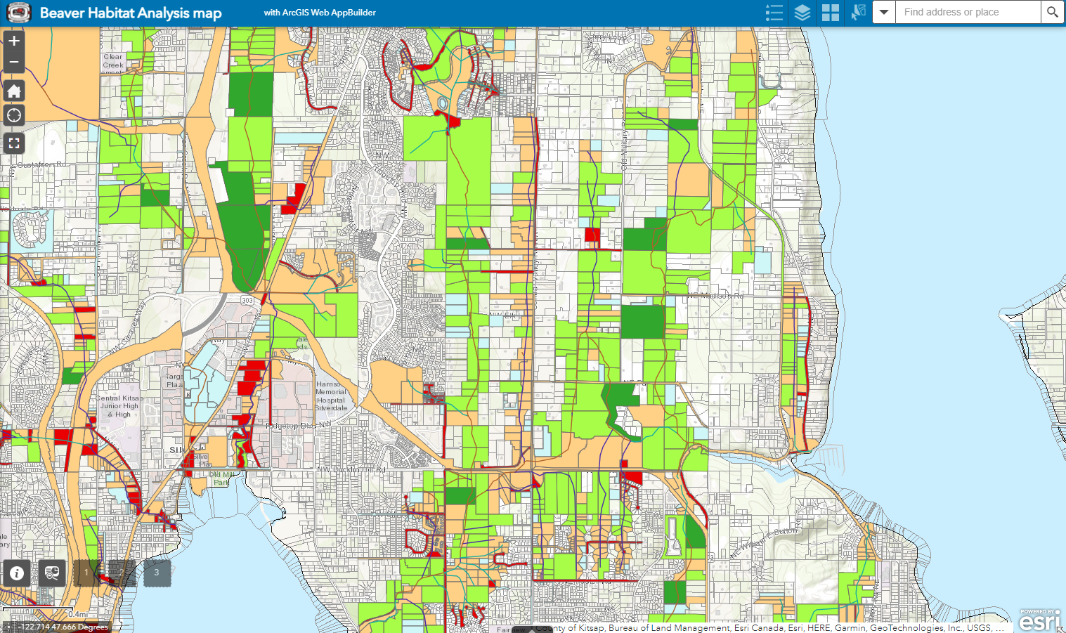
The University of Washington GIS certification program took on this challenge as their capstone project in coordination with Kitsap County Planning and Environmental programs divisions.
