Overview
The Department of Community Development is conducting a Sea Level Rise (SLR) Vulnerability and Risk Assessment that will identify potential losses or damages from flooding due to sea level rise.
With more than 200 miles of marine shoreline, the County is already 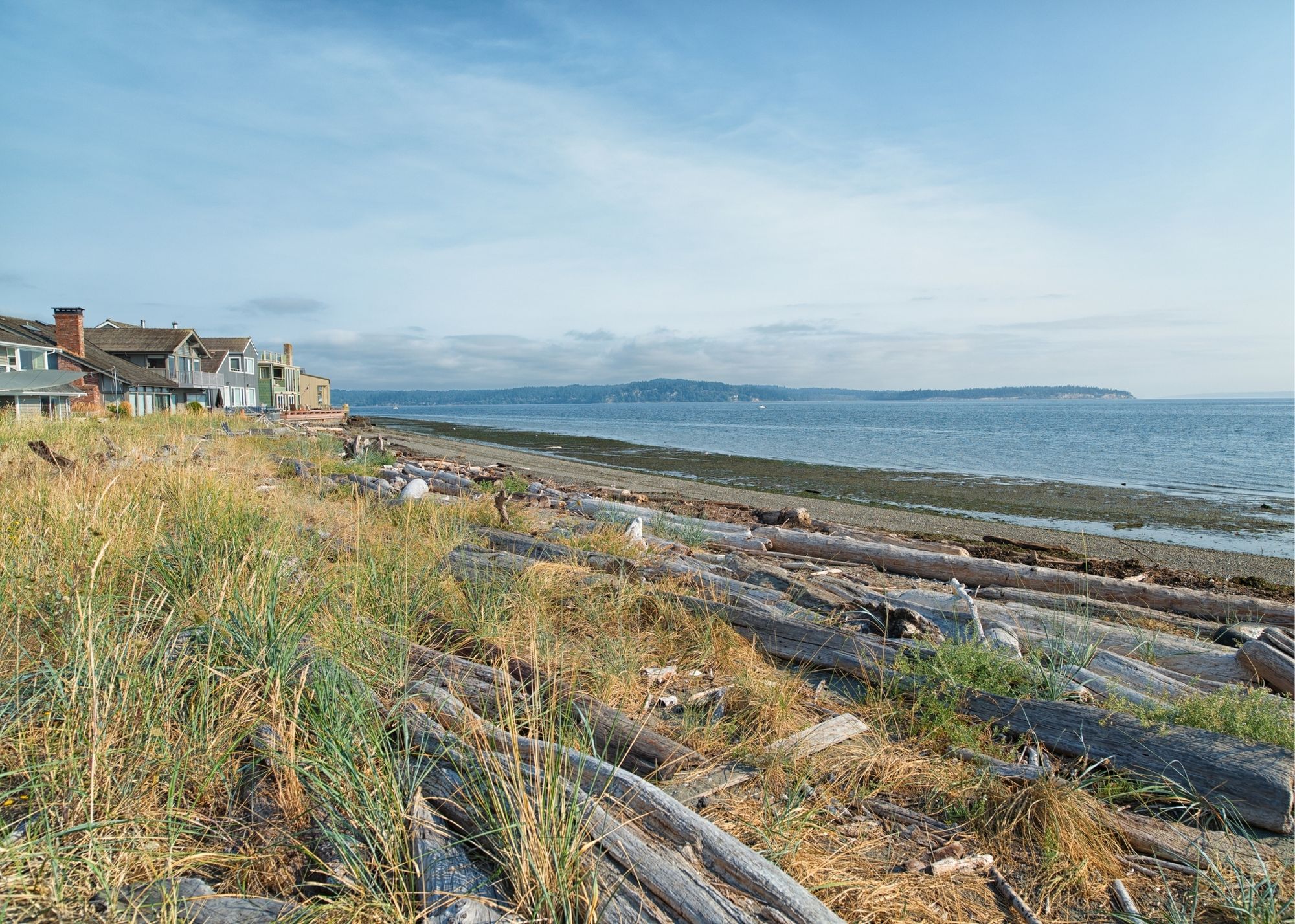 experiencing hazards due to rising sea levels as coastal erosion, flooding, and inundation pose increasing risks to public and private infrastructure, public health, and safety.
The assessment will characterize the risk of loss, and highlight areas of the community, resources, infrastructure, or assets considered most vulnerable.
The assessment will be used for a variety of planning purposes. It will inform future revisions to the County’s shoreline master program, critical areas ordinance, public works transportation improvement program, wastewater systems, storm water capital facilities plan, and Comprehensive Plan.
Outreach efforts for the SLR Vulnerability and Risk Assessment will include consultation with Tribal partners, non-government organizations, businesses and industries, and community or neighborhood groups throughout the assessment process. This grant funded project must be completed by June 2025.
More information coming soon!
